What Your Flood Zone Actually Tells You
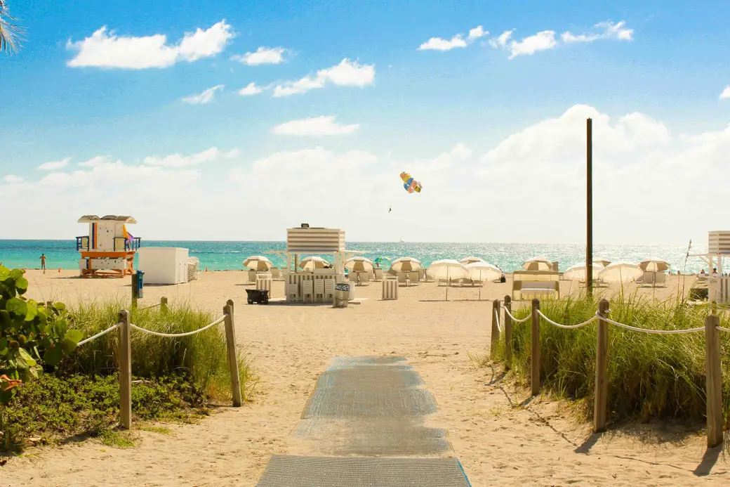
Every Property Has a Zone. Here's What Yours Means.
Every property in Southwest Florida sits in a flood zone. That is not a warning. It is simply geography, and once you understand how zone designation works, it stops being a mystery and becomes useful information.
How a flood zone is determined
FEMA maps every property in the country and assigns it a zone based on elevation, proximity to water, and historical flood data. In Collier and Lee counties, the zones you will see most often are X, AE, and VE.
Zone X is minimal risk. It sits outside the mapped flood plain, and lenders typically do not require flood insurance here, though many owners carry it anyway given our coastal location.
Zone AE is moderate to high risk, with a 1 percent annual chance of flooding. This is the most common zone for properties near canals, bays, and low lying inland areas. Flood insurance is required if you have a federally backed mortgage.
Zone VE is coastal high hazard, where wave action is a factor in addition to flooding. This zone covers many beachfront and near beachfront properties, and it carries the highest insurance requirements of the 3.
Why the zone matters beyond insurance
The flood zone designation affects more than your premium. It can affect financing requirements, renovation rules, and resale value.
If a home in a high risk zone has flood damage exceeding 50 percent of its market value, local building codes often require the entire structure to be elevated to current standards before repairs can proceed. This is the substantial damage rule, and it surprises owners who assumed a renovation would be straightforward.
Zone designation also shapes how buyers compare properties. 2 homes a few blocks apart, similar in size and finish, can carry very different insurance costs purely because of where the flood line falls. A buyer who understands this will ask about zone and elevation before they ask about anything else.
What elevation certificates change
An elevation certificate documents how high a structure sits relative to the base flood elevation for its zone. Homes built above that line, even in a higher risk zone, often qualify for meaningfully lower insurance premiums than the zone alone would suggest.
This is one of the most underused tools in a Southwest Florida transaction. A current elevation certificate can become a selling point, and for buyers, it can mean the difference between an insurance quote that works and one that does not.
How to read your own zone
FEMA flood maps are public record and searchable by address through the FEMA Flood Map Service Center. The information is free, current, and worth checking even if you have lived in your home for years, since maps are updated periodically and zones do shift.
If you are buying, selling, or simply want to understand what your zone means for your insurance and your equity, I am happy to walk through it with you.
Sell Your Home
Open Houses This Weekend
OPEN HOUSE Sunday 1pm - 3pm
$2,099,999
18161 Old Dominion CT, Fort Myers, FL 33908
6 Beds | 5 Baths | 4K Sqft
OPEN HOUSE Saturday 1pm - 4pm & Sunday 12pm - 4pm
$995,000
21072 Teak Tree TER, Estero, FL 33928
5 Beds | 7 Baths | 4.4K Sqft
OPEN HOUSE Sunday 1pm - 3pm
$974,999
15248 Blue Bay CIR, Fort Myers, FL 33913
3 Beds | 2 Baths | 2.1K Sqft
Photo Credit: Joël de Vriend
Categories
Recent Posts



GET MORE INFORMATION

Stevan Stanisic
Real Estate Advisor License ID: SL3518131
Real Estate Advisor License ID: SL3518131